How Does Google Maps Predict Indian Traffic So Accurately?
Ever wondered how Google Maps knows exactly where traffic is slow in India? Discover the real-time tech, user data, and mobile signals behind it in this SpotGenie Fact

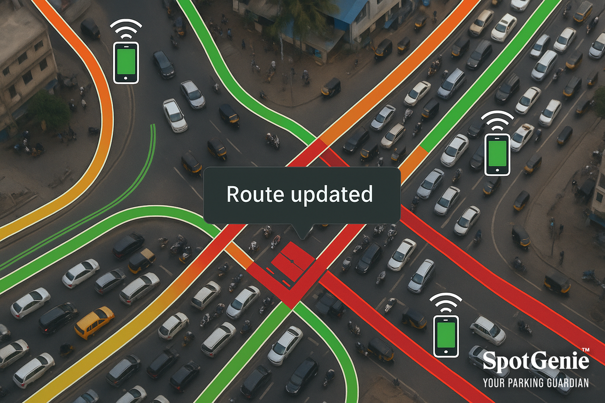
📍 The Magic Behind Real-Time Traffic Predictions
Stuck in traffic and wondering “How did Google Maps know this jam was here before I even got in it?”
It may feel like magic, but it's actually a smart combination of data science, crowd-sourced information, and satellite tech.
Let’s break it down:
🔍 How It Really Works in India
-
GPS Signals from Millions of Phones
Every smartphone running Google Maps (or even Google Play Services in the background) sends anonymized, real-time location and speed data. If a cluster of phones slows down on a stretch, Google flags it as traffic. -
Historical Data + AI
Google has years of traffic data, specific to time of day, weekday, festival seasons, and even weather patterns—all fed into AI models to predict congestion before it happens. -
User Reports
In India, users often manually report traffic jams, accidents, construction, or potholes. These crowd-sourced flags train the system further. -
Third-Party Data
Google also collaborates with government traffic APIs, highway authorities, ride-hailing apps, and city surveillance systems, where available.
🇮🇳 India-Specific Challenges?
Yes! Unlike some Western countries, India has:
- Unpredictable events (political rallies, religious processions)
- Low lane discipline
- Dense traffic with varying vehicle sizes
Despite this, Google Maps adapts using machine learning feedback loops to constantly improve accuracy.
🧠 Did You Know?
Google Maps traffic prediction in India is so advanced that it can reroute you based on real-time slowdowns within 30–60 seconds of detection—sometimes even faster than FM radio alerts.
Follow us on:
🅾 Instagram |
ⓕ Facebook |
𝕏 X |
▶️ YouTube |
🟢 WhatsApp