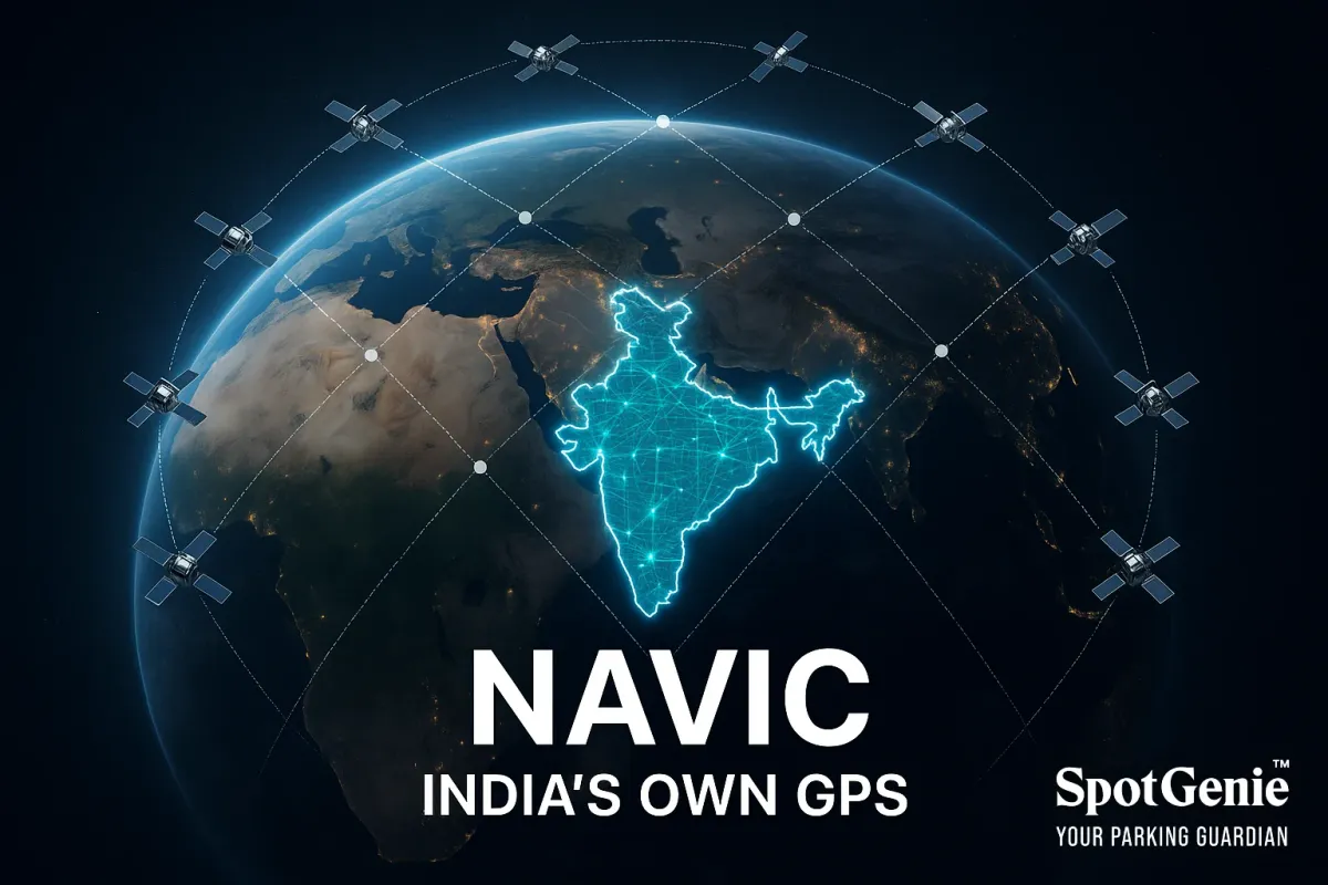
India’s First Indigenous Satellite Navigation System - NAVIC
Discover NAVIC, India’s first indigenous satellite navigation system, enhancing transport and navigation accuracy nationwide.

Did You Know India Has Its Own Satellite Navigation System - NAVIC?
When you open your map app for directions, you’re probably using GPS. But did you know India has built its own satellite navigation system? It’s called NAVIC, and it’s changing how transportation, logistics, and everyday navigation work across the country.
India’s transport story isn’t just about roads, rails, and bridges, it’s also about what’s in the sky. NAVIC (Navigation with Indian Constellation), formerly known as IRNSS, is the country’s first indigenous satellite navigation system. It became operational in 2018, offering accurate positioning services across India and extending up to 1,500 km around its borders.
Unlike the U.S.-owned GPS, NAVIC is built and controlled entirely by India. Its applications go far beyond maps:
– Fleet Tracking: Transport companies and logistics operators use NAVIC to track vehicles.
– Fisheries & Safety: NAVIC helps warn fishing boats about cyclones.
– Public Transport: Bus tracking and emergency alerts are powered by NAVIC.
This leap means greater independence in navigation, improved accuracy, and enhanced safety for millions of road users.
SpotGenie loves highlighting such milestones because they show how India is innovating not just on the ground, but also in space.
Other SpotGenie Facts
– SpotGenie Fact on India’s First Electric Car
– SpotGenie Fact on India’s EV Charging Ecosystem
– SpotGenie Home Page
Follow us on:
🅾 Instagram |
ⓕ Facebook |
𝕏 X |
▶️ YouTube |
🟢 WhatsApp