Drones Over Bengaluru – Will Aerial Eyes Fix Our Traffic Woes?
Bengaluru launches drone-based traffic monitoring to improve congestion management. Learn how this aerial tech works in today’s SpotGenie Gyaan.

Bengaluru launches drone-based traffic monitoring to improve congestion management. Learn how this aerial tech works in today’s SpotGenie Gyaan.
SpotGenie’s Opening Whisper
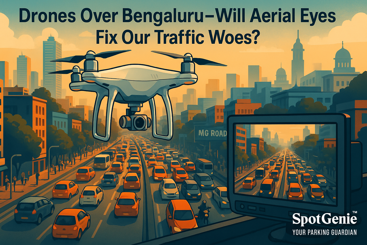
🧞♂️ Look up, Bengaluru! The next time you’re stuck at Mehkri Circle or crawling through MG Road, you might spot a drone quietly watching over the chaos. Bengaluru Traffic Police’s latest pilot — deploying surveillance drones across the city — promises a smarter, faster way to tackle gridlock. Let’s explore how these aerial eyes are reshaping urban mobility.
Latest Traffic Innovation
In 2025, Bengaluru introduced the Visual Aerial Network for Knowledgeable Insights (VANKi) — a fleet of 10 drones covering the city’s major traffic zones. These drones assist police in:
- Monitoring congestion in real-time during peak hours
- Spotting obstructions like broken-down vehicles and waterlogging
- Guiding ground teams to incident locations faster
Currently focused on observation rather than enforcement, the project plans to integrate AI for automatic hazard detection — from illegal parking to pedestrian flow analysis.
What It Means for You
Better traffic management starts with better visibility. With drones providing a bird’s-eye view, traffic cops can clear jams faster, reroute flows intelligently, and reduce frustration for commuters. And during big events or emergencies? Expect smoother coordination, quicker clearances, and less guesswork.
The Deeper Jam
Bengaluru’s drone initiative highlights the need for multi-layered traffic management in modern cities. Cameras at eye level can’t always see the big picture. Aerial surveillance bridges this gap, offering insights into crowd movements, bottlenecks, and risky zones — essential for a city that adds 1,000 vehicles daily. It’s a tech-forward nudge toward disciplined, data-driven mobility.
SpotGenie’s Daily Gyaan
“The road looks different when you rise above it.” Sometimes, solving ground-level problems starts from the sky. 🧞♂️🚁
SpotGenie
SpotGenie complements this tech by empowering citizens at ground level. While drones provide top-down insights, SpotGenie enables real-time peer alerts, respectful parking resolutions, and civic engagement that turns visibility into action — no enforcement badge required.
See How SpotGenie Supports Smarter Streets
Trending Regulations & Sections
- Karnataka Drone Use Policy 2025: Guidelines for civic surveillance and privacy safeguards
- Motor Vehicles Act Section 201A: Penalties for obstructing traffic, now flagged through aerial monitoring
City Focus: Today’s Urban Lens
Early drone deployment in zones like Hebbal, Silk Board, and KR Puram has led to a 20% faster response time for incident clearance during peak hours. Next phase? Expansion to outer ring road corridors and integration with AI alert systems.
Voices from the Road
"Finally, traffic cops have the full picture. These drones are game changers."
— @BengaluruMoves (Twitter)
"Cool tech, but I hope they balance privacy with progress."
— Reddit user: CivicWatchBLR
Your Move, India
Next time you see a drone overhead, know it’s there to help. Let’s match the tech with responsible road behavior. Share this story — smarter streets start with smarter citizens.
SpotGenie’s Sign Off
🧞♂️ From streetlights to satellites, Bengaluru’s commute is getting an upgrade. Until tomorrow, stay alert, stay kind — and let tech lift our traffic troubles. #SpotGenieGyaan #GenieKnows
Keywords: Bengaluru drone traffic monitoring 2025, VANKi drones, aerial traffic management India
Follow us on:
🅾 Instagram |
ⓕ Facebook |
𝕏 X |
▶️ YouTube |
🟢 WhatsApp
🚁 More SpotGenie Gyaan – Where Tech Meets Indian Transport
- AI on the Rails – Collision Avoidance Tech in Indian Railways
- Smart Speed Cameras in Delhi – Can AI Curb Over-Speeding?
- Lane Discipline Cameras on Mumbai Highways – Smarter Driving Ahead
- One Nation, One Ticket – India’s Unified Digital Transport Pass Is Here
- Get SpotGenie – Empowering Smart Streets from the Ground Up
This article is part of the SpotGenie Gyaan series — decoding India’s future-ready road and sky solutions for smarter, safer urban mobility.